")
")
")


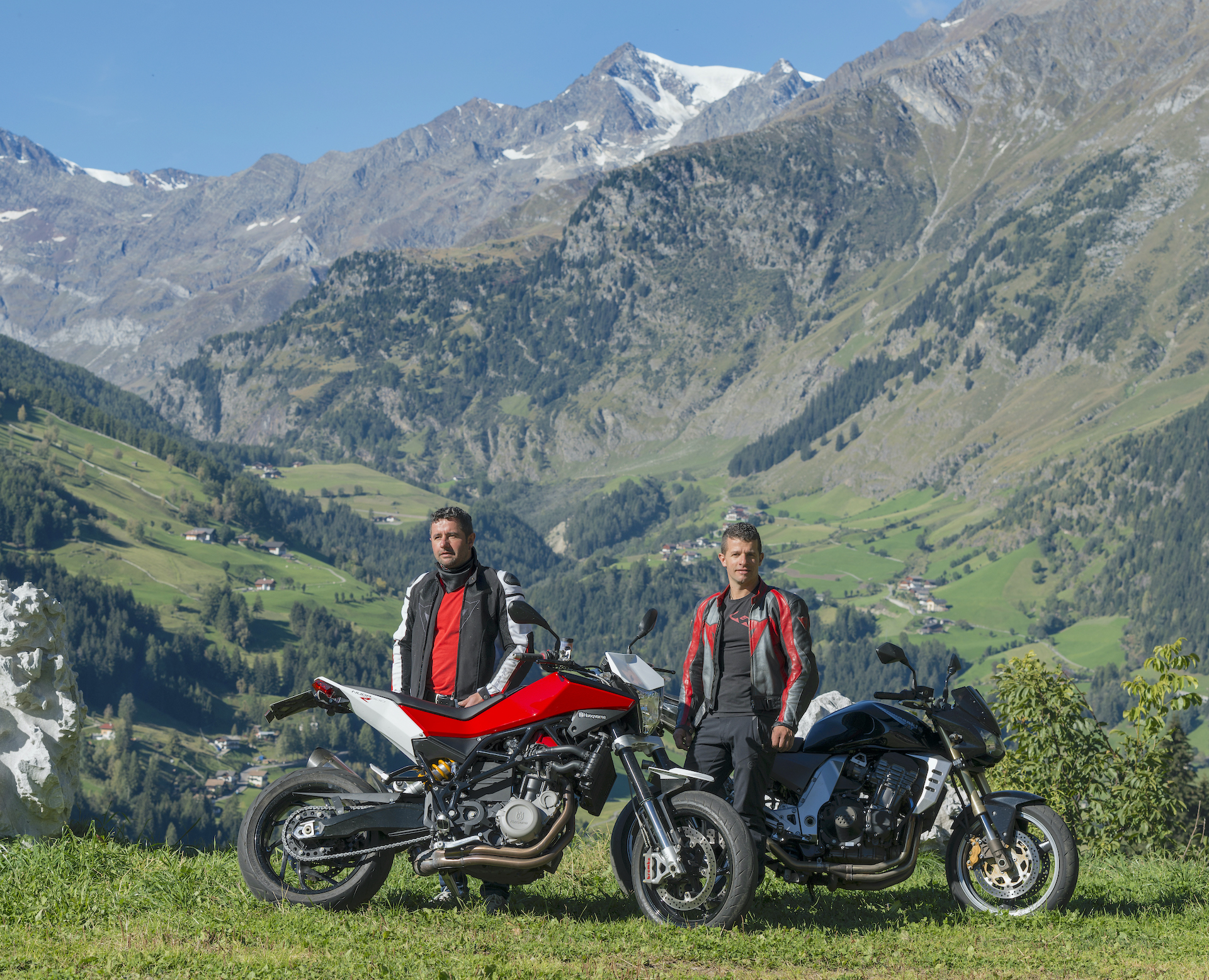
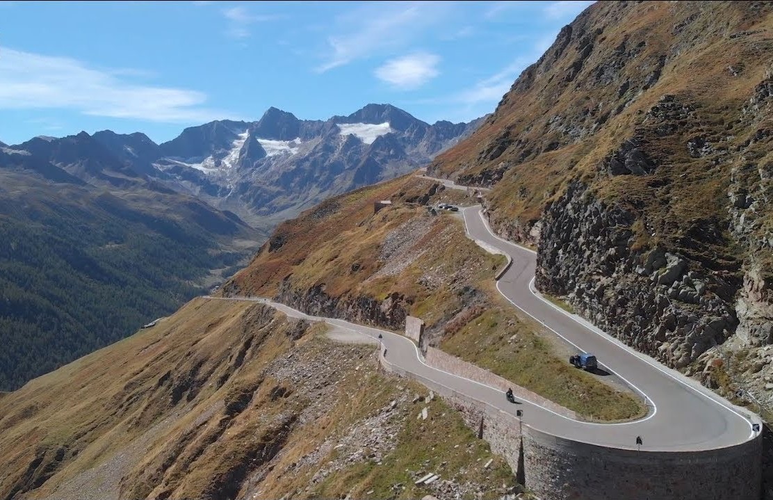
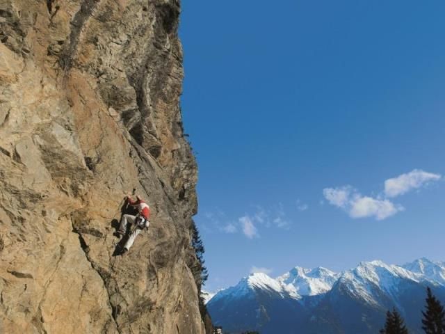
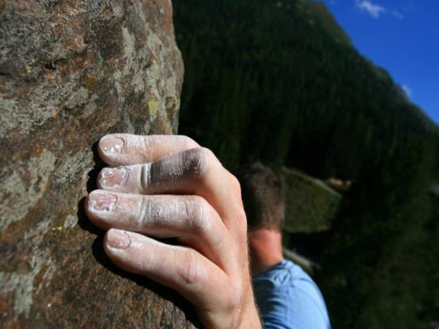
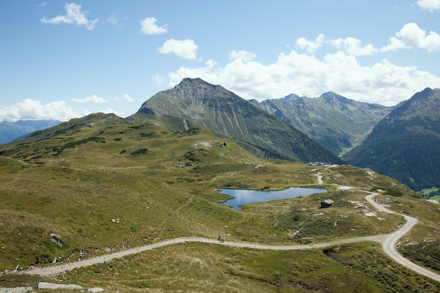
A stunning hiking paradise boasting one of South Tyrol’s largest numbers of trails and paths is waiting for you in the colourful Val Passiria valley. Enthusiastic mountaineers can look forward to mighty 3000 metres high mountains and hikers can indulge in endless trails and tracks, leading across shadowy woods, flowering pastures and deep-blue mountain lakes. Moreover, here you will find South Tyrol’s biggest nature park, featuring marvellous views and a unique flora and fauna.
Have a look at our hiking suggestions, they are worth it!
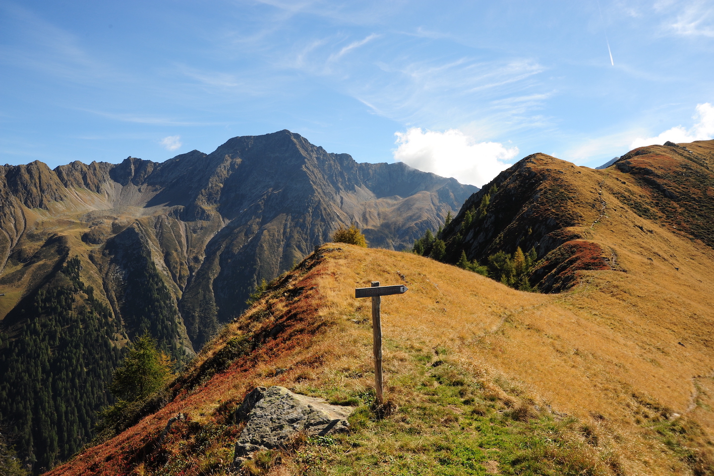
Hiking suggestions:
-
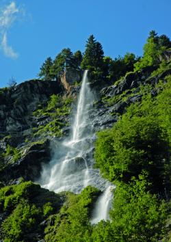
Zwickauer Hütte
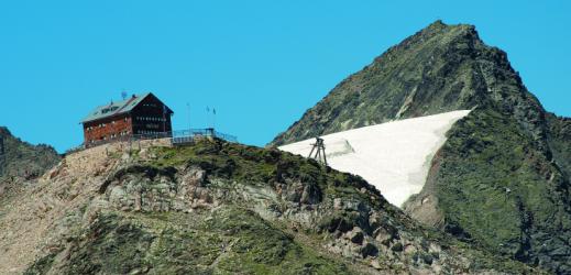 to path no. 6A and towards a hut called “Untere Schneidalm”. Hike further on the marked way to the “Obere Schneidalm”, across a rocky plateau, a snowfield and another rocky plateau to a refugee called “Zwickauer Hütte”. On your way back just follow the same way until you reach a wood of mountain pines, from where the path no. 6A takes you back to the valley bottom and to the village of Plan.
Estimated walking time: 6 hours
Difficulty: demanding -
Hike along the sun trail in Stuls
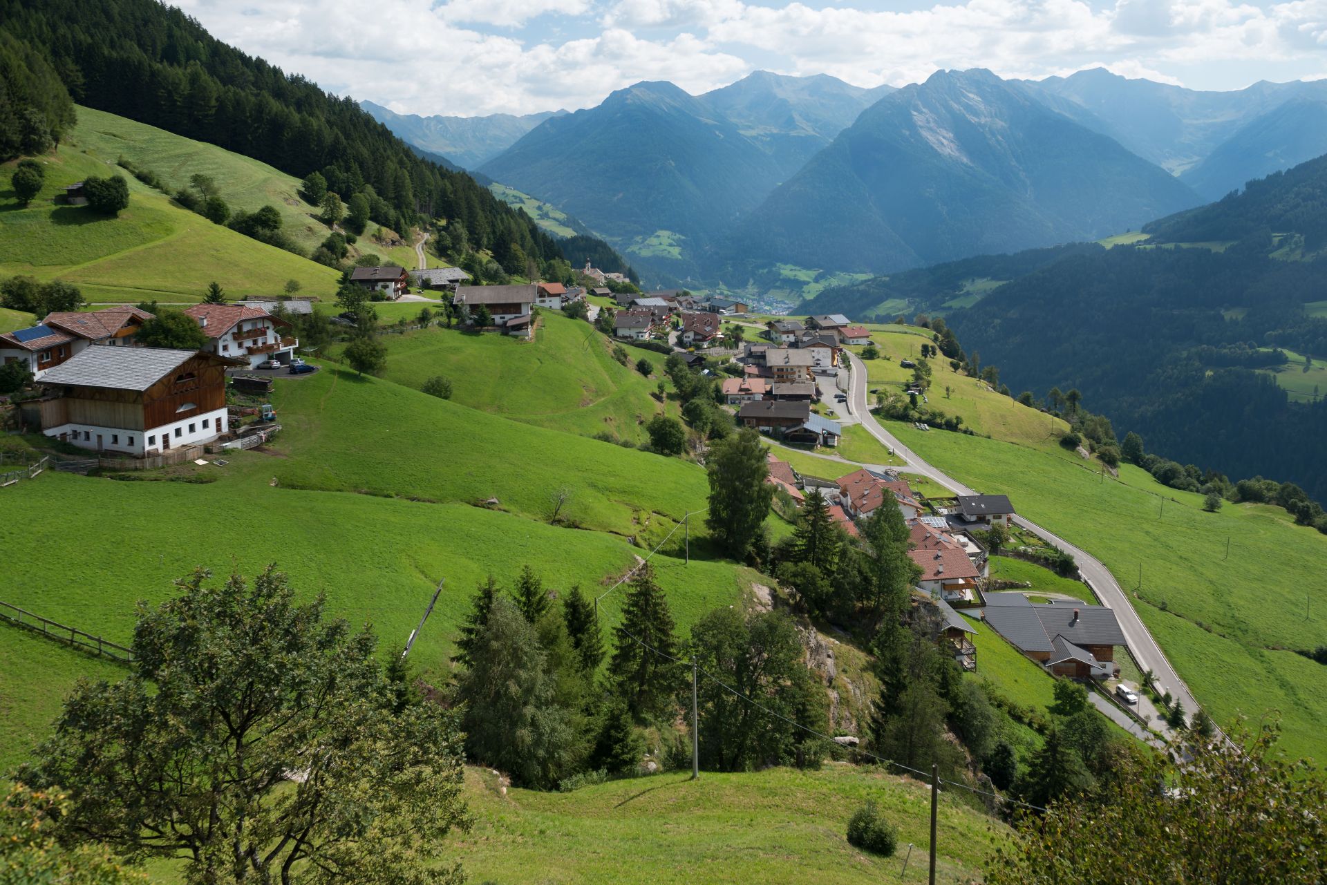
General description
Signposted as „Sonnenrundweg“ trail (Sun Path), this simple 1 hr. 45 min. hiking circuit crossing over sunny slopes and through shady woods leads off the parking lot near the church. In winter the wooded sections are ideal for snowshoe hiking.
Refreshment stops: MORX Puite snack bar and various taverns in Stulles.The trail is not suitable for pushchairs.
Route description
Starting at the Stullerhof inn, follow the Sonnenrundweg trail (Sun Trail) signage up to the Kofler Kreuz crossing. Turn sharply to the left and follow the road until the 7th turn. Exit left off the road, following trail no. 14A as far as the MORX Puite snack bar. To return, follow the road back to the parking lot in Stulles.
-
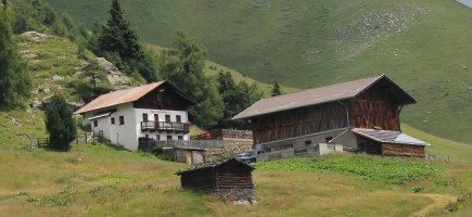
Lazinser Alm
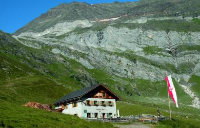 (so sah die Alm aus, bevor sie neu gebaut wurde)
From the village of Plan a double chair lift takes you to a hut called “Grünboden Hütte”, where a recently made panoramic trail starts off. Marked as “Panoramaweg”, it leads across the mountain ridge and further along a winding path to the mountain hut called “Falschnal Almhütte”. Continue on your left towards the hamlet Lazins and on the forest road to a hut with the name “Lazinser Alm”. On your way back follow the same trail and when arriving to Lazins, continue towards Zeppichl and Plan on the left side of the river.
Estimated walking time: 4 hours
Difficulty: ligh -
Moso - Stulles
From the hamlet of Moso, hike along the main road towards S. Leonardo. After the first gallery, turn left following a trail marked as E5. Pass beneath the waterfalls of Stulles and gain a breathtaking view of Stulles. Continue on trail no. E5 towards the so-called “Silberhütthöhe" and further to the kiosk on the asphalted road Via Giovo. From here an old footpath takes you to S. Leonardo, from where a bus brings you back to your starting point in Moso.
Estimated hiking time: 3 hours
-
Egger-Grub-Alm
Starting point is the village of Stulles, from where a trail takes you to a mountain hut called “Egger-Grub-Alm”. Hike on path no. 15A until on your left you see path no. 12A. Continue on path no. 12A, which takes you to the "Egger-Grub-Alm” hut. As for the way back, hike on path no. 15A until you reach a sign saying “Waldweg” and further on path no. 15A towards Stulles (in winter, this last part is also used as a tobogganing run).
Estimated hiking time: 3 hours
-
Stuller Mahder - Hochalm
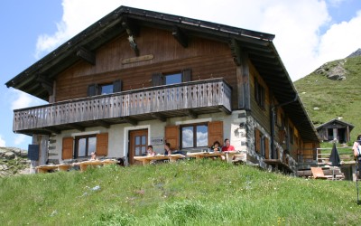
Starting point is the church of Stulles, from where some steep stairs take you to a sharp asphalted bend. Continue on path no. 15B until crossing path no. 15. Follow the latter towards some mountain pastures called "Stuller Mahder" and further to a hut named "Hochalm" at 2174 metres. As for the way back, hike on path no. 12A to the “Egger-Grub-Alm” hut and further on path no. 12A to Stulles.
Estimated hiking time: 4 hours
-
Hochwart
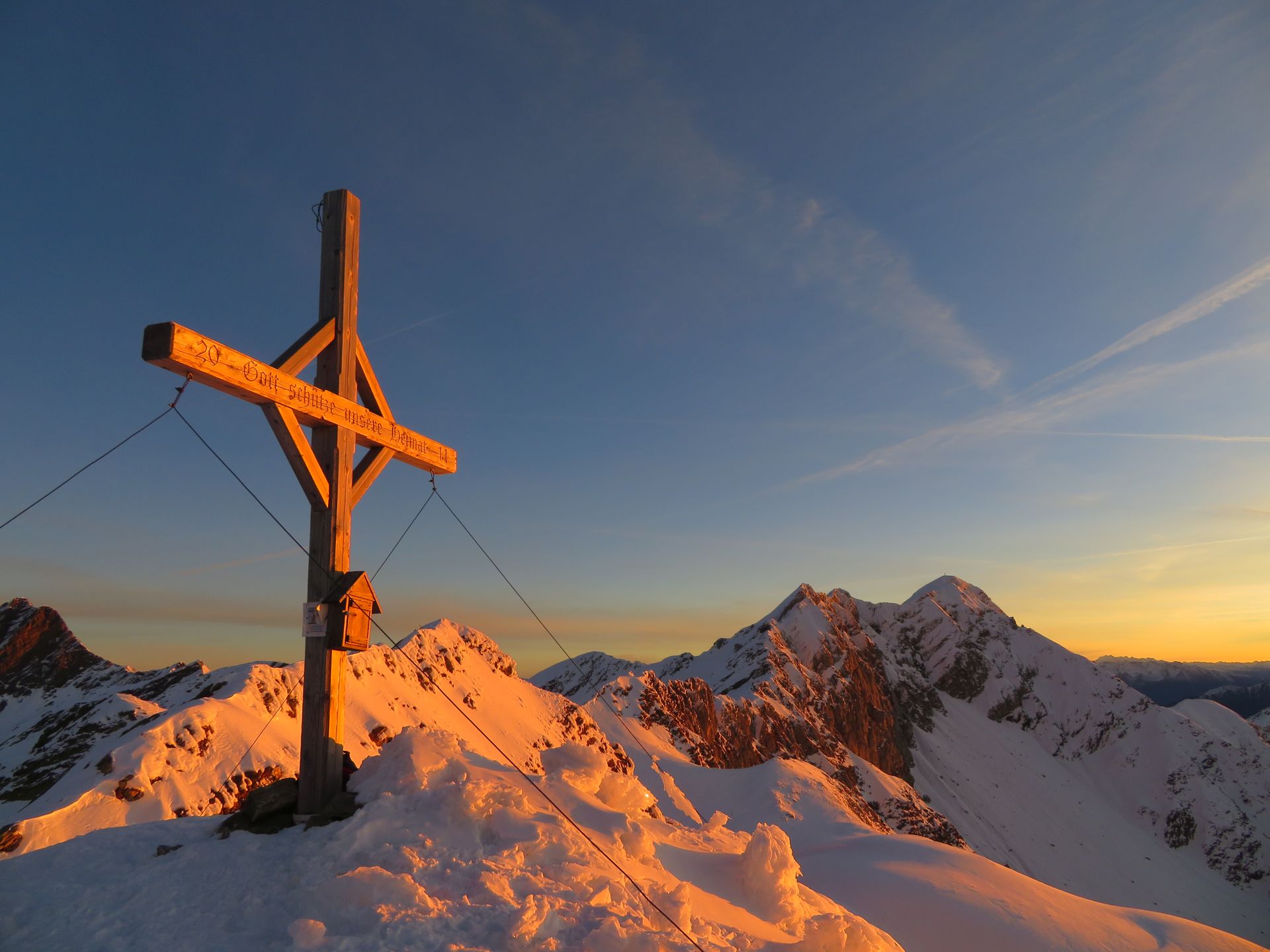
Starting point is the above mentioned “Hochalm” hut, from where path no. 12A brings you further up until you reach a crossing. Turn left on path no. 12B and hike to the top of the mountain at 2608 metres called "Hochwart". After a little break with a stunning view, the same trail brings you back to the hut again.
Estimated hiking time (Hochalm hut-Hochwart): 2 hours
-
Hohe Kreuzspitze
-
Hohe Kreuzspitze - Übelsee - Hiaserkaser
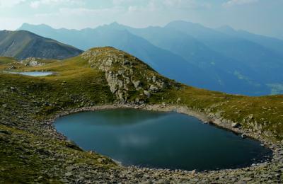
Starting point is Stulles, from you hike to a summit called “Hohe Kreuzspitze”. Continue downwards on path no. 12 towards a lake named “Übelsee”; the summit “Kleine Kreuzspitze” isn’t far. Continue further down until you reach trail no. 15, aso referred to as “Passeirer Höhenweg”. Walk some 100 metres back on trail no. 15, turn left and continue towards the hut called “Hiaser Kaser” (1833 m). Arrived at the hut, turn left and hike on path no. 16A until you reach to so-called “Silberhütthöhe”, from where path no. E5 takes you back to Stulles.
Estimated walking time: 7 hours